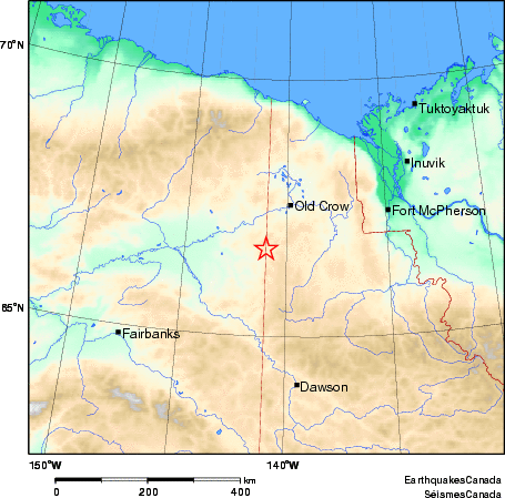
Earthquake Details (2010-02-18)
Thursday February 18, 2010
| Local Time: | 22:17:50 AKST |
|---|---|
| Magnitude: | 4.6 ML |
| Latitude: | 66.4 North |
| Longitude: | 141.5 West |
| Depth: | 10. km |
| UT Date and Time: |
2010/02/19 07:17:50 UT |
Did you feel it?
Comments:
- At this time there are no reports of this earthquake being felt.
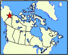
Approximate Location of Earthquake: