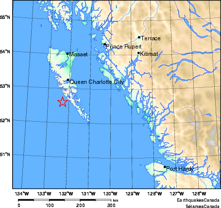
Earthquake Details (2012-10-27)
Saturday October 27, 2012
| Local Time: | 20:04:00 PDT |
|---|---|
| Magnitude: | 7.7 Mw |
| Latitude: | 52.6 North |
| Longitude: | 132.3 West |
| Depth: | 20.0 km |
| UT Date and Time: |
2012/10/28 03:04:00 UT |
Did you feel it?
Comments:
- A major earthquake occurred in the Haida Gwaii region. It was felt across much of north-central BC, including Haida Gwaii, Prince Rupert, Quesnel, and Houston. There have been no reports of damage at this time. Numerous aftershocks of M3 to ~5 in the hours following.
- A tsunami warning was issued for the coastal areas.West Coast and Alaska Tsunami Warning Center.
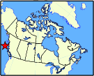
Approximate Location of Earthquake: